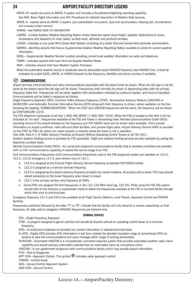
Legend 14: Airport/Facility Directory
Practice
Sign in to practice with this figureText in this figure
24 AIRPORT/FACILITY DIRECTORY LEGEND AWOS–3T reports the same as AWOS–3 system and includes a thunderstorm/lightning reporting capability. See AIM, Basic Flight Information and ATC Procedures for detailed description of Weather Data Sources. AWOS–4—reports same as AWOS–3 system, plus precipitation occurrence, type and accumulation, freezing rain, thunderstorm and runway surface sensors. HIWAS—See RADIO AIDS TO NAVIGATION LAWRS—Limited Aviation Weather Reporting Station where observers report cloud height, weather, obstructions to vision, temperature and dewpoint (in most cases), surface wind, altimeter and pertinent remarks. LLWAS—indicates a Low Level Wind Shear Alert System consisting of a center field and several field perimeter anemometers. SAWRS—identifies airports that have a Supplemental Aviation Weather Reporting Station available to pilots for current weather information. SWSL—Supplemental Weather Service Location providing current local weather information via radio and telephone. TDWR—indicates airports that have Terminal Doppler Weather Radar. WSP—indicates airports that have Weather System Processor. When the automated weather source is broadcast over an associated airport NAVAID frequency (see NAVAID line), it shall be indicated by a bold ASOS, AWOS, or HIWAS followed by the frequency, identifier and phone number, if available. COMMUNICATIONS Airport terminal control facilities and radio communications associated with the airport shall be shown. When the call…