Legend 5: Airport/Facility Directory
Practice
Sign in to practice with this figureText in this figure
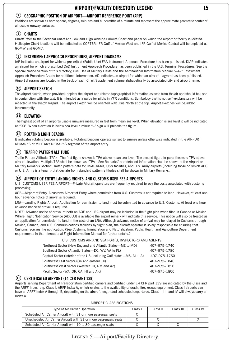
AIRPORT/FACILITY DIRECTORY LEGEND 15 GEOGRAPHIC POSITION OF AIRPORT—AIRPORT REFERENCE POINT (ARP) Positions are shown as hemisphere, degrees, minutes and hundredths of a minute and represent the approximate geometric center of all usable runway surfaces. CHARTS Charts refer to the Sectional Chart and Low and High Altitude Enroute Chart and panel on which the airport or facility is located. Helicopter Chart locations will be indicated as COPTER. IFR Gulf of Mexico West and IFR Gulf of Mexico Central will be depicted as GOMW and GOMC. INSTRUMENT APPROACH PROCEDURES, AIRPORT DIAGRAMS IAP indicates an airport for which a prescribed (Public Use) FAA Instrument Approach Procedure has been published. DIAP indicates an airport for which a prescribed DoD Instrument Approach Procedure has been published in the U.S. Terminal Procedures. See the Special Notice Section of this directory, Civil Use of Military Fields and the Aeronautical Information Manual 5–4–5 Instrument Approach Procedure Charts for additional information. AD indicates an airport for which an airport diagram has been published. Airport diagrams are located in the back of each Chart Supplement volume alphabetically by associated city and airport name. AIRPORT SKETCH The airport sketch, when provided, depicts the airport and related topographical information as seen from the air and should be used in conjunction with the text. It is intended as a guide for pilots in VFR conditions. Symbology that is not self–explanatory…